iPhone · Android
Spoor
Offline satellite maps of South Africa, made for drone pilots, farmers, game reserve and Kruger visitors, and anyone outdoors.
Coming soon to the App Store and Google Play
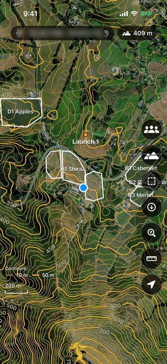
Map 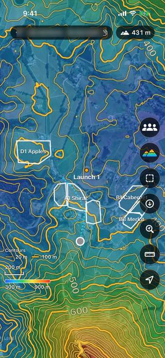
Contours 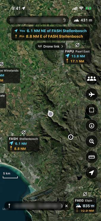
Drone mode 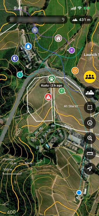
Groups
- Satellite maps that work offlineSave a park, reserve, town or an area you draw, and use it with no signal. Saved maps are encrypted on your phone.
- Contours, heights and measuringContour lines and elevation colours, the height and coordinates of any spot, distance, area and height difference.
- Drone modeAirfields around you with distances in nautical miles, and your drone and nearby ADS-B aircraft live through Drone link.
- GroupsShare your live position, trail and pins with a group. Joining is free; creating a group needs Spoor Pro.
- Your files, your track, your carKML, KMZ and GPX files, a record of where you have been, and the map on CarPlay and Android Auto.